SERVICES
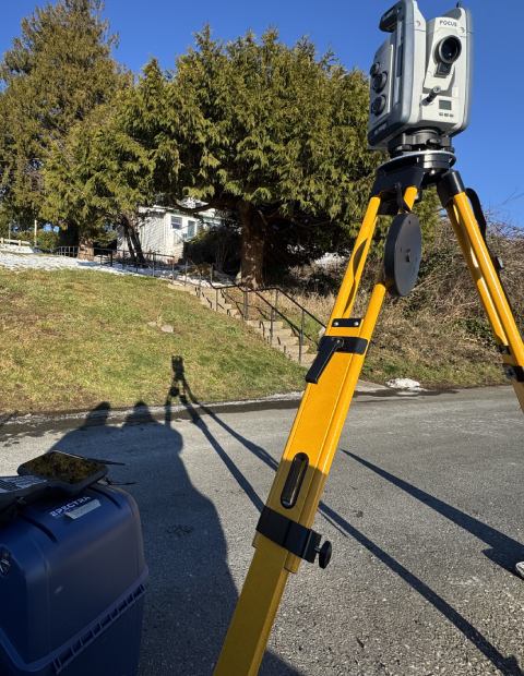
Topographic
survey
Topographic surveys, performed by certified land surveyors, capture a site’s natural features, man-made structures, and elevation, offering essential data for architects, engineers, designers, and other professionals during the design process. Additionally, most municipalities in Metro Vancouver require a topographic survey as part of the building permit application package.
We provide precise and detailed topographic survey plans in PDF and AutoCAD DWG formats to support your permit application, planning, and design needs.
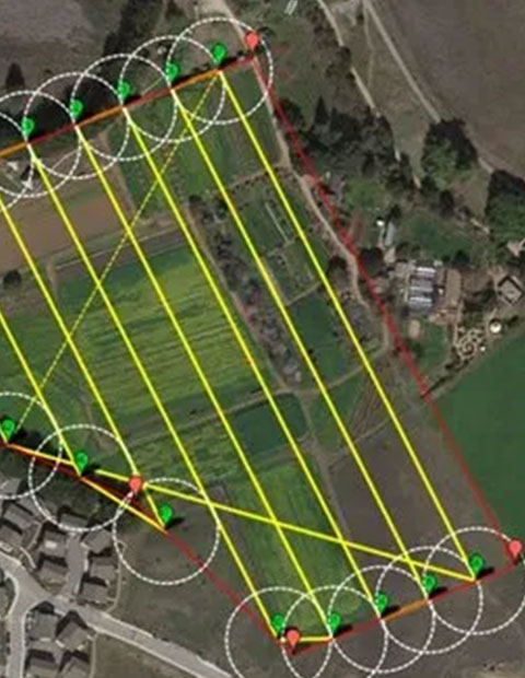
Property boundary survey
Accurately identifying property lines is crucial during property improvements. If there is any uncertainty, a re-posting survey, and property line stakeout are highly recommended to ensure property boundaries are clearly and precisely marked.
Well-defined and marked boundaries are essential for maintaining good relationships between neighbors and avoiding potential disputes.
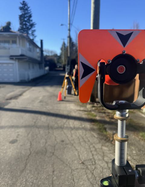
Subdivision & consolidation survey
Subdivision typically involves dividing a piece of land into two or more parcels. It can also include consolidating two or more parcels into a single site, adjusting existing property lines, and dedicating land for roads or lanes.
SkyView Land Surveying specializes in designing Subdivision and Consolidation Plans that adhere to the land authorities’ standards.

Strata plans
Preparing and registering a Strata Plan has become crucial for establishing titles that enable the buying and selling of individual units.
Skyview Land Surveying specializes in both commercial and residential Strata Plans, from duplexes, triplexes, and other multi-unit developments. Our team collaborates closely with property owners and developers, detailing the boundaries of individual strata lots and the associated unit entitlements.

Building Location certificate
A building Location certificate AKA mortgage certificate, is a document as part of the finance agreements often required by the bank to satisfy the mortgage requirements. It can only be prepared by a licensed land surveyor.
This certificate primarily details the locations of existing buildings and any charges on the lot, such as rights of way, easements, and covenants, in relation to the lot boundaries. It also includes potential encroachments either onto or extending beyond the property boundaries.

Construction survey
The SkyView Land Survey team provides reliable and prompt construction survey services tailored to your needs.
Our construction survey package includes excavation stakeout, site benchmark setting, foundation outline pinning, and Non-Encroachment Certificates (NEC) for small to medium-sized residential development projects.
Our surveyor can be on-site as early as 24 hours after the clients submit the proposed layout and design to initiate the project.
We also provide survey services to monitor the movement of structures and set gridlines and site reference control points for larger development constructions.
