At Skyview Land Surveying, we provide reliable, precise, professional land surveying services across the Lower Mainland. Whether working with developers, municipalities, or industry partners, we tailor our approach to your project needs.
As members of the Association of British Columbia Land Surveyors, we uphold the highest standards of precision, integrity, and efficiency—delivering trusted results at every step.
On the Clock. On Budget. On Point.
SERVICES
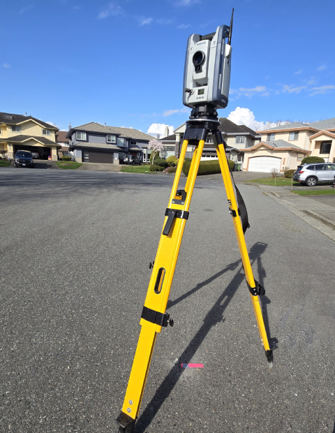
Topographic Survey
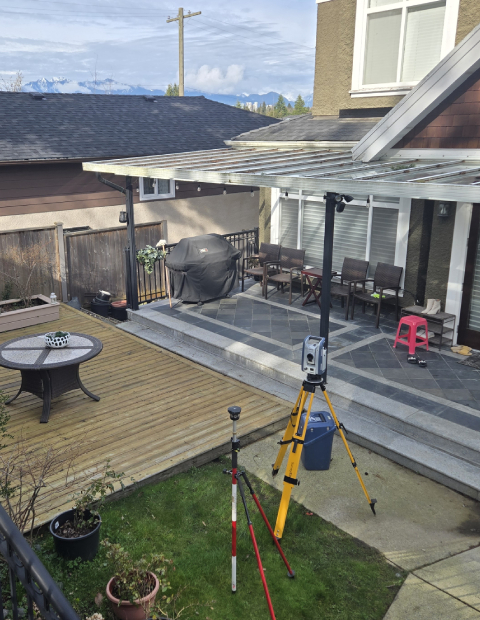
A topographic survey maps a site’s elevation, natural features, and built structures — all essential for architects, engineers, and designers during the planning and design process. Performed by certified land surveyors, it’s often required by municipalities in Metro Vancouver for building permit applications.
At Skyview, we deliver detailed topographic survey plans in both PDF and AutoCAD (DWG) formats to support your project from application to execution.
At Skyview, we deliver detailed topographic survey plans in both PDF and AutoCAD (DWG) formats to support your project from application to execution.
Property Boundary Survey
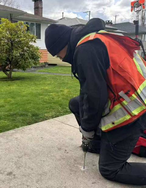
Boundary survey defines the legal limits of your property. In B.C., only certified BC Land Surveyors (BCLS) can perform this work, often by placing or restoring legal survey monuments.
Property line surveys are essential for improvements like fences, additions, or landscaping. If boundaries are uncertain, a re-posting survey or stakeout is recommended to clearly mark the lines.
Well-defined boundaries help avoid disputes and keep things neighborly.
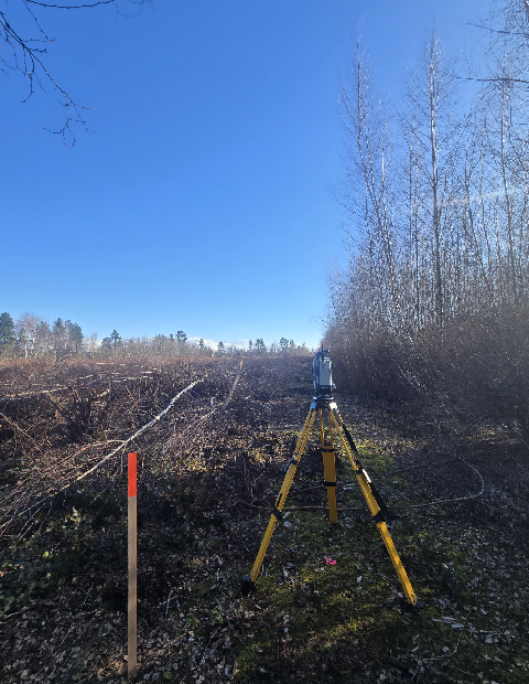
Subdivision & Consolidation Survey
Subdivision surveys involve dividing a single parcel of land into two or more lots, while consolidation surveys combine multiple parcels into one. These processes are essential for land development, ensuring that new property boundaries comply with local zoning and development bylaws. In British Columbia, only certified BC Land Surveyors (BCLS) are authorized to perform these surveys, which result in official plans filed with the Land Title Office.
At Skyview, we provide expert subdivision and consolidation surveying services to support your land development projects.
Strata Survey
A strata survey defines the boundaries of individual units and common property within multi-unit developments like condos or townhouses. Only certified BC Land Surveyors (BCLS) can prepare strata plans in B.C., which are filed with the Land Title Office under the Strata Property Act.
These surveys are essential for legally subdividing buildings and establishing ownership and responsibilities within a strata development.
Skyview Land Surveying Ltd. works closely with developers and their legal teams to prepare and complete strata plans efficiently — ensuring timely delivery and smooth registration.
Building Location Certificate
A building location certificate is a plan prepared by a certified BC Land Surveyor (BCLS) that certifies the location of existing structures—such as houses, garages, or fences—relative to the legal boundaries of a property. This document is often used during real estate transactions, mortgage approvals, or property improvements to confirm that structures are correctly situated within the property lines and comply with local zoning regulations.
At Skyview Land Surveying Ltd., we provide accurate and timely building location certificates to assist homeowners, buyers, and professionals in making informed decisions regarding property boundaries and improvements.
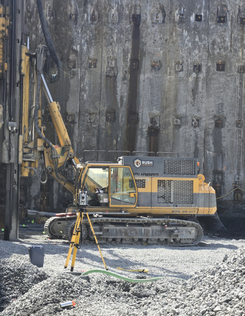
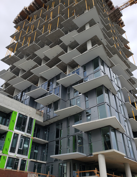
Construction Survey
Construction and engineering surveys provide precise layout and measurement for buildings, roads, and infrastructure, ensuring projects are built according to plan and within legal limits. Certified BC Land Surveyors (BCLS) support construction accuracy from start to finish.
At Skyview Land Surveying Ltd., our surveyor can be on-site within 24 hours of receiving your design layout to kick-start your project. We also offer monitoring surveys, gridline layout, and site control points set for larger developments.
Professional Land Surveying Services Near You – Serving Richmond, Burnaby, Vancouver & the Lower Mainland
As licensed surveyors in British Columbia, Skyview Land Surveying Ltd. adheres to strict industry standards, ensuring every survey is accurate, compliant, and legally recognized. We proudly serve clients across the Lower Mainland, delivering professional and precise surveying services tailored to local requirements.